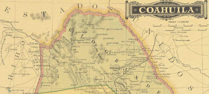
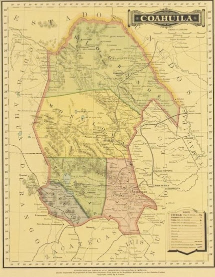
In this post, you will find information about an 1885 map of Coahuila, Mexico, and the link where to view it in high definition.
Not sure if you may be researching the Mexican state of Coahuila but I thought it would be a great idea to share it.
This map is dated 1885 and might be useful to see what towns used to be around your ancestors home town. Sometimes this will provide you with additional clues as to where to continue your research.
If you click on the image you will be taken to a high-quality image of the map. The detail is great.
A small image of the original map:
Click on the Image for high-Quality Map
I hope that you find it useful in your research. Let me know what you think about it.
Source: Garcia Cubas, Antonio. Coahuila., Map, 1885; digital images, (http://texashistory.unt.edu/ark:/67531/metapth231858/ : accessed September 16, 2013), University of North Texas Libraries, The Portal to Texas History, http://texashistory.unt.edu; crediting University of Texas at Arlington Library, Arlington, Texas.

